|
| *****SWAAG_ID***** | 132 |
| Date Entered | 18/02/2011 |
| Updated on | 19/01/2012 |
| Recorded by | Tim Laurie |
| Category | Burnt Mound |
| Record Type | Archaeology |
| Site Access | Army Range |
| Record Date | 29/11/2008 |
| Location | Bellerby CP. Bellerby Moor Ranges Burnt Site 5. The lower of two burnt mounds located at oncolite rich stream below calcareous tufa forming spring on the south side of Black Beck |
| Civil Parish | Not known |
| Brit. National Grid | SE 08945 93633 |
| Altitude | 310m |
| Geology | Calcareous tufa forming springs with oncolite rich stream. |
| Record Name | Black Beck Springs. Lower Site |
| Record Description | The Lower of two Burnt Mounds on the banks of the oncolite rich stream which flows southward from the edge of the ice margin channel known as Black Beck. Unsurveyed. |
| Dimensions | 12m diameter*10m high, estimated. |
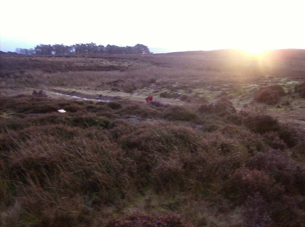
| Image 1 ID | 308 Click image to enlarge |
| Image 1 Description | Bellerby Moor Site 5. Lower of two BM's located at this oncolite rich spring stream south of Black Beck | 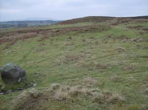 |
| Image 2 ID | 309 Click image to enlarge |
| Image 2 Description | Bellerby Moor Site 5. Spring stream south of Black Beck | 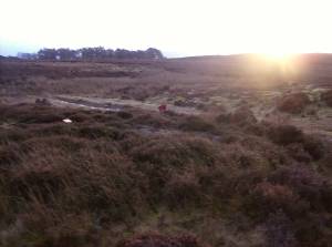 |
| Image 3 ID | 310 Click image to enlarge |
| Image 3 Description | Bellerby Moor Site 5. Spring stream south of Black Beck | 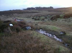 |